

We have been asked by several hikers to recommend a scenic trail in the Bradshaws that one can travel uphill for several miles and receive good exercise. Several trails come to mind but one really stands out.
Smith Ravine Trail #297 is my favorite. A close second is the Groom Creek Trail #307 but it is much more popular and crowded. Two other trails offer higher hikes in the Bradshaws and they are the Castle Creek Trail at 2200 foot climb on the east side. The other being the Bradshaw Mountain Trail that leads from Battle Flat up to the top of Towers Mountain at a 2800 foot climb. Both are remote trails and sometimes hard to follow because they receive little use.
Smith Ravine trail is a beautiful walk in the woods with a steady climb for exercise. There is usually water at a half way point, by beautiful Smith Spring. It is a peaceful place to take a break. Up this stream 1/4 mile from where the trail crosses the creek is nice cascade, if the water is flowing. Another option for a break.

- Miles... 6 miles round trip. Side trip at top to Spruce Mountain 9 miles round trip.
- Time... 4 to 6 hours. Add 2 more hours for the Spruce Mountain side trip, if you choose to go.
- Difficulty... Moderate
- Elevation... climb 903 feet to FS 52A or 1545 to Spruce Mountain.
The following is a pictorial review of the hike.

What I like about this hike
- Scenery
- Amazing views
- Wildlife, a good place to find horny toads.
- Wildflowers throughout especially in the burn area
- Pretty spring and cascade
- Large tree burl
- Good uphill exercise
Start this hike by locating the hidden parking lot on the west side of Walker Road, a few miles south of Lynx Lake. See map below. Many hikers see the burned forest area where this hike begins and choose to go elsewhere thinking it will be ugly hike. After a short 1/4 mile walk you will quickly leave the burn area and enter the forest for the rest of your hike.


At about two miles the trail crosses Smith Creek. About 50 yards downstream is a spring usually loaded with wildflowers, depending on time of year of course. Always filter your drinking water in the Bradshaws to be safe.


Watch for rattle snakes.
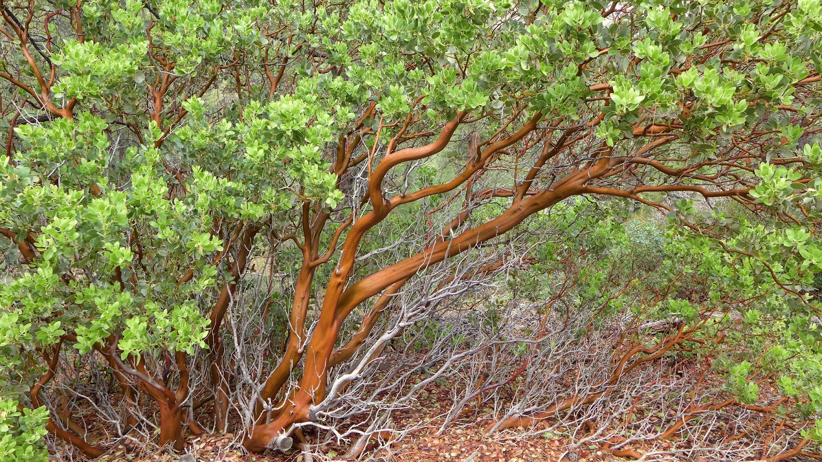
Flowers and plants along the way.


From this point I recommend that you continue another mile and a half up the road (FS52A) to see the fire tower and the amazing views.

If you don't want to take this side route simply turn around and go back the way you came.
Spruce Mountain

Elevation sign at the top of Spruce Mountain.


Forest service tower,
This is one of my favorite uphill trail hikes in the Bradshaws. For the way back if you plan ahead, you can leave an auto at the Groom Creek Trail Head and follow trail #307 downhill. Or just return the way you came.
All photos by Mark with a Panasonic LX 7 point and shoot camera.
Google Map
https://maps.google.com/maps/ms?msid=209862872930327478900.0004e50e280a5d37049e8&msa=0&ll=34.474696,-112.397593&spn=0.004785,0.010568
Please forgive errors in grammar or spelling as we type from our phones.