Thursday, August 29, 2013

Old Fain Road


Old Fain Road hiking.

We thought we would give our readers a very easy walk near Prescott Valley. This is a beautiful  hike on a now abandoned dirt road.  There are a few slight hills. For those looking for an easy, lower elevation hike, this is a good option.

Note... Be sure to close all gates you go through.

 Before the new Fain Highway was built, us long timers would take a dirt road named Fain, that connected easily to 89A, from Highway 69. Once the new Fain highway was built this dirt road shortcut was closed and gates locked. It sits on private property, the Fain Ranch so be sure to respect private ownership. It is open for those wanting to still walk the route.
 This easy hike sits between the Bradshaw Mountain range and Mingus Mountain.


Cross the Agua Fria River only if shallow.

Directions
From Highway 69 take Fain Road north, about a mile to Sara Jane Road and turn east. Follow it downhill to the end maybe 1/2 mile and turn left on Old Fain Road. Shortly this road dips into the Agua Fria River which usually flows here year round. If the water is shallow cross the cement lined crossing and park in the make shift parking lot, next to the locked gate.


Walking is permitted at this time on Old Fain Road. Cross the fence and follow the road. 


About the only people that use this old dirt road these days are archery hunters in the late summer or fall chasing antelope. The 6 1/2 mile walk is easy if you go all the way to Highway 89A. So the total trip would give you a 13 mile walk. Of course you can turn around at any point. The first small hill is 1.2 miles, so turning around here would give you almost 2 1/2 miles total.

As I write this the older bulls along this trail are being removed and younger ones introduced. So be careful of the young bulls if you come across any in the future.


This is a working cattle ranch and expect to see cattle. Prescott Valley and Bradshaw Mountains in background.

What I like about this hike.


  • Antelope viewing... sometimes mule deer in the winter
  • Beautiful open views
  • Solitude
  • 6.5 miles one way or turn around at any point
  • If you want an easy walk this is it
  • Views of Prescott Valley, Bradshaw and Mingus Mountains
  • Not many hikers


Expect to see antelope on this hike. Antelope on upper left within this image.


Expect to see dove on this hike.


There are always lots of grass hoppers along this road.


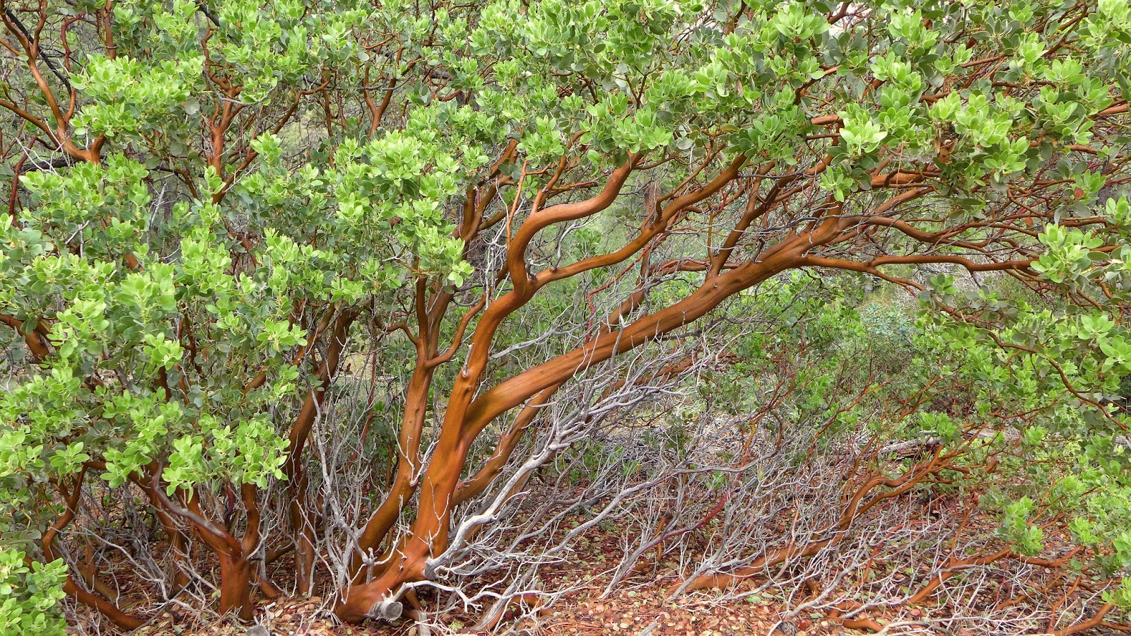
During wet springs and summer monsoon season, flowers are abundant.


The old Department of Transportation signs still exist along this road. When you come to a sign that says " Do Not Cross When Flooded" you have reached the 5.2 miles. This is a good point to turn around. 


Sunrise at the wind mill and water storage tank. Mingus Mountain in the background. 6 mile point. Yes I started hiking early and in the dark to get to this point.


Once you near the wind mill things begin to get very noisy. A gravel cement processing plant is the culprit


 Return the way you came.

All photos by Mark with Panasonic LX7


Google Map
https://maps.google.com/maps/ms?msid=209862872930327478900.0004e52c5e8284c8d7935&msa=0&ll=34.596476,-112.243195&spn=0.159111,0.338173 https://maps.google.com/maps/ms?msid=209862872930327478900.0004e52c5e8284c8d7935&msa=0&ll=34.596476,-112.243195&spn=0.159111,0.338173


Please forgive errors in grammar or spelling as we type from our phones.

Wednesday, August 28, 2013

Blind Indian Trail #211


On the southwest side of the Bradshaws sits a trail that I don't care for. The photos below should explain. 

The Blind Indian Trail consists of 10 miles of poorly maintained, snake infested, chaparral plant community.
 I don't mind the easy uphill climb of ten miles, just the boring trail.. 


 As good as it gets! Not recommended!
 Link to trail herehttp://www.fs.usda.gov/recarea/prescott/recreation/ohv/recarea/?recid=67511&actid=50

Smith Ravine Trail


Early morning sunrise along the Smith Ravine Trail


We have been asked by several hikers to recommend a scenic trail in the Bradshaws that one can travel uphill for several miles and receive good exercise. Several trails come to mind but one really stands out.

 Smith Ravine Trail #297 is my favorite. A close second is the Groom Creek Trail #307 but it is much more popular and crowded. Two other  trails offer higher hikes in the Bradshaws and they are the Castle Creek Trail at 2200 foot climb on the east side. The other being the Bradshaw Mountain Trail that leads from Battle Flat up to the top of Towers Mountain at a 2800 foot climb. Both are remote trails and sometimes hard to follow because they receive little use.
Smith Ravine trail is a beautiful walk in the woods with a steady climb for exercise. There is usually water at a half way point, by beautiful Smith Spring. It is a peaceful place to take a break. Up this stream 1/4 mile from where the trail crosses the creek is nice cascade, if the water is flowing. Another option for a break.


    Trail begins.


  •  Miles... 6 miles round trip. Side trip at top to Spruce Mountain 9 miles round trip.
  • Time... 4 to 6 hours. Add 2 more hours for the Spruce Mountain side trip, if you choose to go. 
  • Difficulty... Moderate
  • Elevation... climb 903 feet to FS 52A or 1545 to Spruce Mountain.


The following is a pictorial review of the hike. 

  Soon you will be leaving the burn area and enter the woods.

What I like about this hike
  • Scenery 
  • Amazing views
  • Wildlife, a good place to find horny toads.
  • Wildflowers throughout especially in the burn area
  • Pretty spring and cascade
  • Large tree burl
  • Good uphill exercise


Start this hike by locating the hidden parking lot on the west side of Walker Road, a few miles south of Lynx Lake. See map below. Many hikers see the burned forest area where this hike begins and choose to go elsewhere thinking it will be ugly hike. After a short 1/4 mile walk you will quickly leave the burn area and enter the forest for the rest of your hike.


Easy to follow trail.


Views of Mingus Mountain and Prescott Valley.


Trail meanders through several small canyons.


 At about two miles the trail crosses Smith Creek. About 50 yards downstream is a spring usually loaded with wildflowers, depending on time of year of course. Always filter your drinking water in the Bradshaws to be safe.

Smith Spring


Always filter your drinking water in the Bradshaws. I use the Sawyer Squeeze. Its lightweight, compact and works efficiently and not to costly.


One of the largest burls I have ever seen in the Bradshaws is along this trail. See map below for location.


Lizards and other reptiles can be see along the trail. Here a horned lizard (horny toad) keeps an eye on me.
Watch for rattle snakes.


Flowers and plants along the way.


When you near the top, Spruce Mountain Fire Tower appears on left.


Trail ends at FS 52A.

From this point I recommend that you continue another mile and a half up the road (FS52A) to see the fire tower and the amazing views.


Follow the road one more mile and a half uphill to Spruce Mountain. Here you will find a forest service tower and views worth the walk. A bathroom and picnic tables await. From the end of the trail to the top of Spruce Mountain is another 650 foot climb. So with this addition you can get 1545 elevation climb and a total of 9 miles.
If you don't want to take this side route simply turn around and go back the way you came.

Spruce Mountain


Elevation sign at the top of Spruce Mountain.


Views at the top. San Francisco Peaks in background.


Forest service tower,

This is one of my favorite uphill trail hikes in the Bradshaws.  For the way back if you plan ahead, you can leave an auto at the Groom Creek Trail Head and follow trail #307 downhill. Or just return the way you came.

All photos by Mark with a Panasonic LX 7 point and shoot camera.

Google Map
https://maps.google.com/maps/ms?msid=209862872930327478900.0004e50e280a5d37049e8&msa=0&ll=34.474696,-112.397593&spn=0.004785,0.010568


Please forgive errors in grammar or spelling as we type from our phones.


Thursday, May 23, 2013

Senator Highway, Walker Road Loop.


This is a 1/2 day, very scenic driving adventure through the heart of the Bradshaw Mountains. It is the driving adventure I recommend now to our readers who are looking for a quick and easy trip with other recreational options. You can extend this trip by visiting some of the areas noted below or camp over night in the forest.

  1. You pass several pretty lakes and creeks surrounded by pine forests. 
  2. Old ghost town sites and mines along the way. 
  3. Hiking opportunities are scattered throughout the drive. 
  4. Passenger cars are OK if your careful.  
  5. Ten miles of this road is improved dirt.
  6.  Don't attempt this trip after recent snow or rain.


Trip Stats
  • Miles... 23
  • Type of road... paved and improved dirt.
  • Time needed... 2 to 8 hours, depending on stops.
  • Gas stations...none
  • Food... none, bring a picnic lunch

The Senator Highway has about 10 miles of improved dirt road.

Directions
Begin this driving adventure in Prescott at Mount Vernon Avenue and Gurley street. See our Google Map below. Follow Mount Vernon south through Prescott's historic home district. This road becomes the Senator Highway.

History
The Senator Highway was built in 1867 and was originally a toll road that led to Crown King and other areas. Toll fees were $1.50 per wagon or 50 cents for horse and rider. It was considered very expensive for its day but beat making your own way through the woods.

What I like about this trip.
  • Beautiful scenic drive
  • Beautiful forest
  • Lakes, creeks
  • Hiking opportunities
  • Wildlife viewing opportunities
  • Historic buildings
  • Historic mines

Warnings
  • Do not travel after heavy rain or snow.
  • Hair-pin turns, watch for other vehicles.
  • One lane at times, share the road.
  • Mileages below are approximate.
  • Stay out of mines.


Photographic Trip Begins

Below is a pictorial review of this trip that gives approximate mile marker locations. Use the Google map below to further aid in driving directions.There are many other interesting stops along this trip not mentioned here.


Start at Gurley and Mount Vernon Ave in Prescott. A Senator Highway sign indicates your turn. Mile 0


Mount Vernon Historic District. First 1/2 mile.
For more information on this area click here. 


Historic district in winter.


Follow the Senator Highway. At about 3.5 miles you can stop at Upper and Lower Goldwater Lakes. Fee required. Click here for more information on Goldwater Lake. http://bradshawmountains.com/goldwater_lake.htm


Lower Goldwater Lake. Closed to the public but a hiking trail takes you near the water line. Mile 3.5


Lower Gold water Lake Trail.


 Next is the town of Groom Creek. This town is named for Robert Groom who settled in this area during the late 1860's. Two stage stops were located here along the Senator Highway as well as a saloon, boarding house, four mills, several residences and a school house. The school can still be visited today and simply watch for the sign, for its location. The Senator Highway and nearby King Kelly Mine as well as others supported the town. During wet years miners noted this particular area, for its numerous wildflower blooms which still occur today. Mile 5


Groom Creek nature trail (Lions Physically Disabled Trail). Historical school house nearby. Click here for more information. Mile 6
http://bradshawmountainhikes.blogspot.com/2012/12/lyons-groom-creek-nature-trail.html


Pavement ends, mile 7.


At 7.5 miles you have a option for a side trip on Wolf Creek Road. If you want to take the side hike to Wolf Creek Waterfall, turn here and follow this dirt road to the trail head. For more information on the falls click here. http://bradshawmountains.com/wolf_creek_waterfall.htm


Remains of the Senator Mine and now ghost town of Maxton. Mile 10. For more information on Maxton or Senator Mine click here.
http://bradshawmountains.com/senator_mine.htm


Senator Mine. Stay out of mines. Mile 10.


Senator Waterfall side hike at mile 10. Click here to learn more about this short side hike.
http://bradshawmountainhikes.blogspot.com/2013/05/senator-waterfall.html


                                              Road narrows just after Maxton. 10 miles.


Turn left on Walker Road, near mile 10.5 It can be easy to miss this turn so watch for it.


Hassayampa Lake, mile 11. For more information on Hassayampa Lake click here. http://bradshawmountains.com/hassayampa_lake.htm


Hassayampa Lake


Mile 11 you come to a crossing of the Hassayampa River. Here high in the mountains the river is small and really only a flowing creek. Aspens make their home along the bank.

A short distance later is the community of Potato Patch. More mines appear on right.

Later the road winds slowly down the mountain through pine forests. At about mile 13 you come to an interesting stash of mail box's.


In the historic town site of Walker paved road once again appears. Mile 13.
For more information on Walker click here. http://www.mglodge.com/history.htm


                                                     Mail boxes at mile 13


Mile 14.


An old pink car gives this road its name. Even the ground appears pink in this area. For 73 years this 1939 sedan has sat at this location and has become quite the landmark. In 2011 it was stolen by Prescott High School students and placed it in the high school parking lot, as a prank. The pranksters were caught and the landmark car returned to its location once again. Now it is chained to the ground. You can visit and photograph this car once again. To learn more about the prank click here.
http://www.dcourier.com/main.asp?SectionID=1&SubsectionID=1&ArticleID=94188


At mile 15 you can take a side trip to this 1800's still standing charcoal kiln. 
Click here for more information. 


Next, is Lynx Lake near mile 19.
For more information on Lynx Lake click here. 


Lynx Lake over look, mile 19.


Highland Nature Center, mile 20.


Continue for another 3 miles and you reach Highway 69 again. Costco is on your right. Turn right to go to Phoenix or left to return to Prescott.


Google Map
https://maps.google.com/maps/ms?msid=209862872930327478900.0004db1e1b1a2cdf14171&msa=0&ll=34.552271,-112.387433&spn=0.019864,0.048795

Please forgive errors in grammar or spelling as we type from our phones.